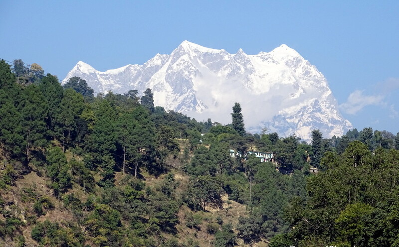
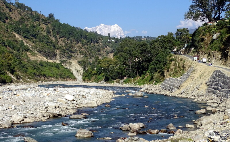
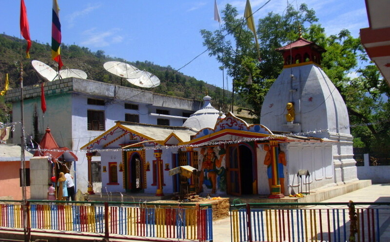
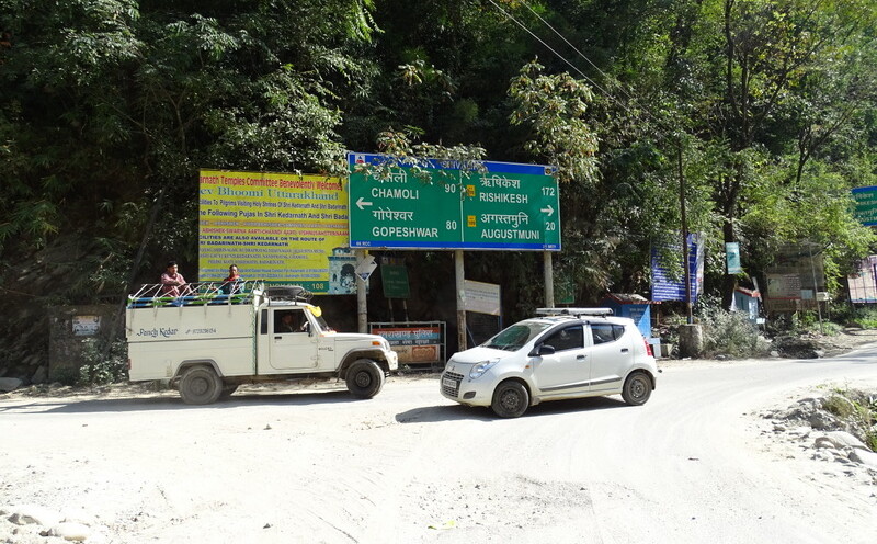
Kund is a village in the Rudraprayag district and a junction of three hilly roads. One goes to Deoria Tal, Gopeshwar, and Chamoli. Another road goes to Guptkashi, Triyuginarayan, and Kedarnath, and one towards Augustmuni, …
Close View of Chaukhamba Peak from Agastyamuni
This photo was taken from NH 109.
View of Chaukhamba Peak from Agastyamuni
This photo was taken from NH 109. The river flowing is holy Mandakini.
Haridwar to Kedarnath Temple – Distance and Directions
Haridwar to Kedarnath Temple Distance is 259 Km approx. Haridwar Railway Station > Rishikesh (32 km) Rishikesh > Vashisht Gufa, Gular (18.5 km) Vashisht Gufa, Gular > Devprayag (48 km) Devprayag > Maletha Band (28 …
Rudraprayag to Guptkashi – Distance and Directions
Rudraprayag to Guptkashi Distance is 40.5 km approx. Rudraprayag > Tilwara (9 km) Tilwara > Agastyamuni Temple (8.5 km) Agastyamuni Temple > Guptkashi (23 km) (follow National Highway 109)
Rudraprayag to Agastyamuni Temple – Distance and Directions
Rudraprayag to Agastyamuni Temple Distance is 17 km approx. Rudraprayag > Dangi Bridge (12 km) Dangi Bridge > Agastyamuni Bridge (3.5 km) Agastyamuni Bridge > Agastyamuni Temple (1.5 km)
Agastya Muni Temple – Maharishi Agastya Meditated at this very Location
Shree Anusiya Prasad – mathadhish (head priest) was present within the temple area. Upon request in-short he narrated the History of Agastya Muni Temple as follows: Maharishi Agastya meditated at this very location. 18th or …